Explore the Biodiversity of the Klamath Mountains

Bigfoot Trail

Cart

  • Route
    • Maps and Guidebook
    • Trail Regions
      • 1 – Yolla Bolly
      • 2 – Trinity River Country
      • 3 – Trinity Alps
      • 4 – Russian Wilderness
      • 5 -Marble Mountain Wilderness
      • 6 – Red Buttes
      • 7 – Siskiyous
      • 8 – Redwood Country
    • Trailblazers
    • Interactive Map
    • Media
    • Trail Blogs
  • Blog
  • Support the Trail
    • Personal Memberships
      • Day-Hiker Membership
      • Thru-Hiker Membership
      • Flip-Flop Membership
    • Business Partner Membership
    • Donate
    • Volunteer
    • Leave No Trace
  • Biota
    • Conifer List
    • Plants
    • Birds
  • Our Work
    • Bigfoot Trail Youth Stewardship Project
    • Photo Monitoring
      • Siskiyou Wilderness Highpoint
      • Red Buttes Wilderness Highpoint
      • Marble Mountains Highpoint
      • Russian Wilderness Highpoint
      • Trinity Alps Highpoint
      • Yolla Bolly Highpoint
    • Media
    • Contact the BFTA
  • Store
    • Bigfoot Trail Poster
    • Bigfoot Trail Mapset: Printed
    • Bigfoot Trail Mapset: Digital
  • Events
  • Log In
    • Account details
    • Lost password

The Southern End of the Bigfoot Trail

July 6, 2020 by Rees Hughes Leave a Comment

2020 Trip Report

Saddened by the cancellation of our work week on the trail between Ides Cove and the Knob, Dennis and Liz Houghton and my wife, Amy, and I took advantage of still having our calendars marked off to make the long drive from Humboldt County to Ides Cove for a 4-night backpacking trip on the south end of the Bigfoot Trail.  This section of the Bigfoot Trail skirts the north side of Mt. Linn (8,098′) and South Yolla Bolly Mountain before making a long, dry ridge walk west to the Knob where the route turns north and winds its way through the heart of the rugged and desolate Yolla Bollys. We camped near Square and Long Lakes, two of the only lakes adjacent to the trail for many miles (you can’t count the tarn just north of the Knob), with magnificent views to the north and east and a lively chorus of frogs in the evening.
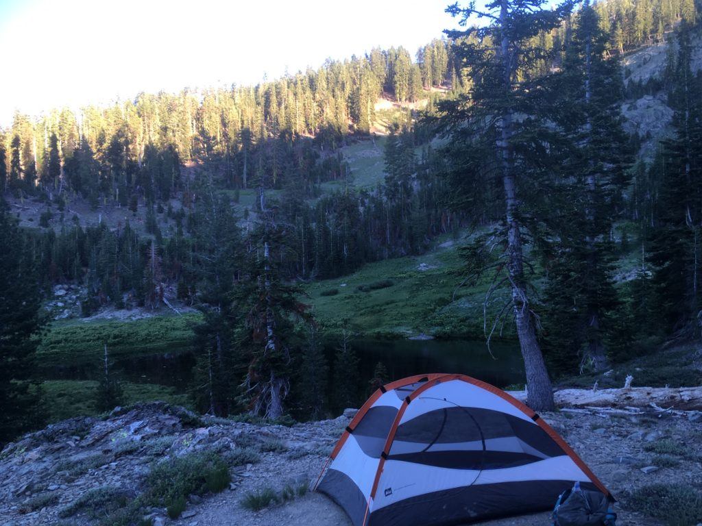
Camped above Square Lake

We explored the top of Mt. Linn with its delightful grove of Foxtail Pine on the west approach and dropped down barely existent trails to walk among a parkland of ancient cedars (see Bigfoot Trail Highpoint in the Yolla Bolly – Middle Eel).  We followed the Bigfoot Trail along the ridge crest past Mt. Harvey descending to D Camp and its modest spring just a few miles from the Knob.  While the first three miles of trail west from Ides Cove are well used and receive some maintenance, beyond that route finding skills and GPS are useful resources.  There are long stretches of good trail that will require little more than tread work but there are sections that have nearly disappeared.  This reality is not so different from the condition of the trail we encountered when we first started reclaiming the trail in the northern portion of the Yolla Bollys two years ago.
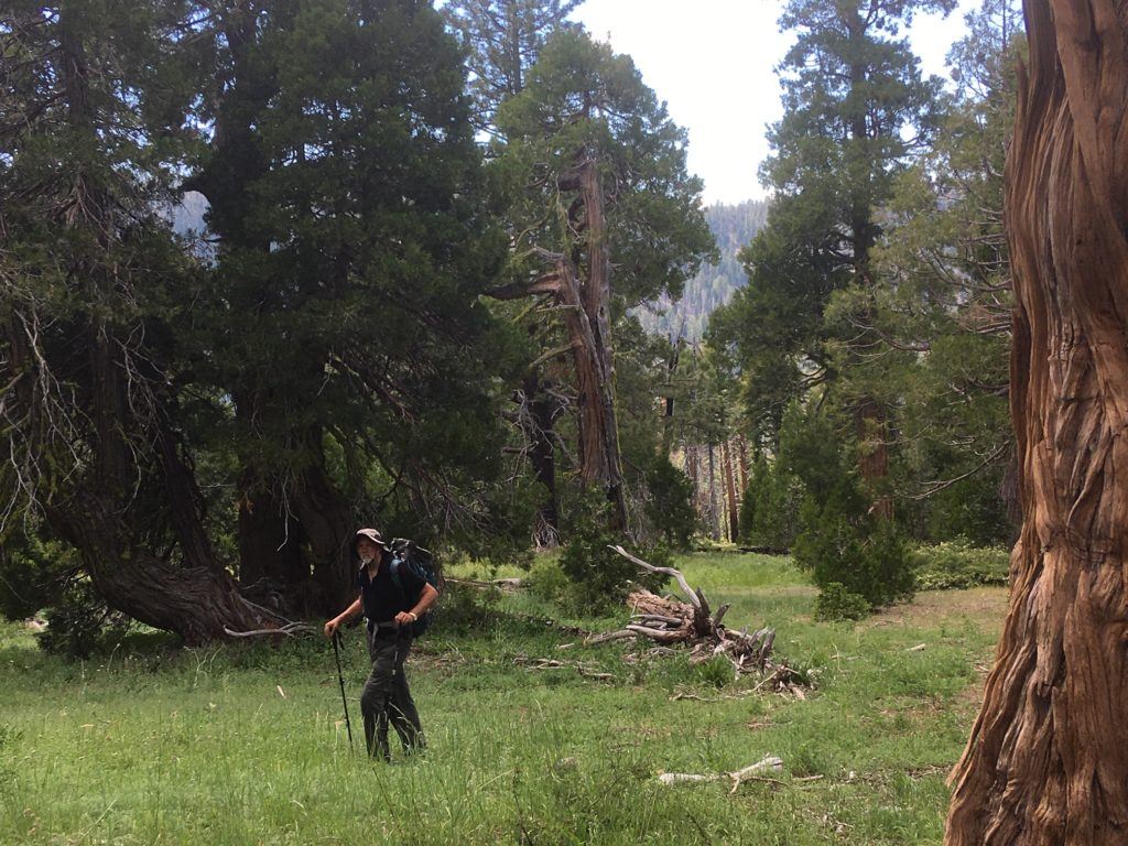
Groves of cedar tucked away.
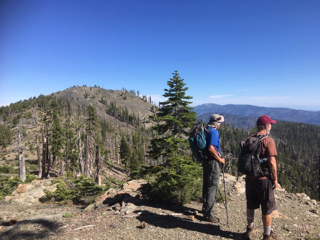
Rees and Dennis looking for familiar landmarks.

Share this:

  • Tweet
  • Email

Filed Under: Hiking

Leave your thoughts... Cancel reply

Recent Posts

  • BFTA Welcomes 4 New Board Members
  • Looking Back and Looking Forward
  • 2022 Bigfoot Trail Siskiyou Wilderness Collaborative
  • Long Gulch Lake
  • Upper Wooley Creek

Socialize

  • Instagram
  • Facebook
  • Twitter

Get Email Updates

* indicates required
 

Subscribe to the BFTA Blog

Enter your email address to subscribe to this blog and stay up to date on the Bigfoot Trail.

Join 95 other subscribers

BFTA is a 501 c3

Tax ID #47-4468143


Contact

email: bfta [at] bigfoottrail.org

PO Box 777, Bayside, CA  95524