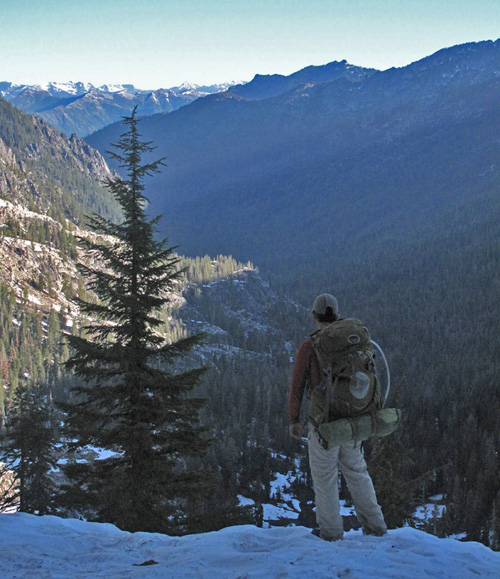
A pathway through the wild heart of the Klamath Mountains—built by community, held by story, guided by care.
Land Acknowledgement
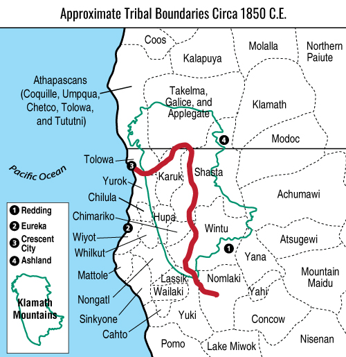
The rich and stunning lands along the route of the Bigfoot Trail include the traditional, ancestral, and present homelands of a number of Indigenous nations, including the Karuk, Tolowa, Yurok, Chimariko, Shasta, Wintu, Yuki, and Nomlaki. These lands were taken from these communities during an extended period of forced removal and genocide that has had far-reaching impacts, yet these peoples have been and continue to be stewards of these lands.
We honor and acknowledge the strength and resilience of these communities that came before us, that are with us now, and the future Indigenous peoples of this area. The Bigfoot Trail Alliance, as an organization, is still working to uncouple our organization from this unjust history and welcomes the opportunity to continue learning from our community.

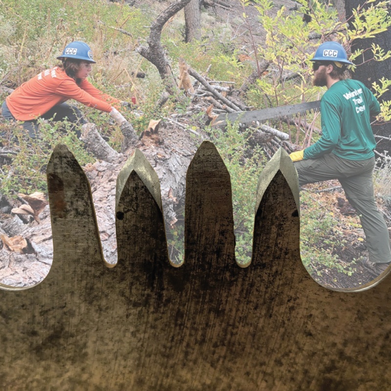
Edges for the Quiet Work Ahead: Crosscut Saw Training
Third Annual Wilderness & Primitive Trails Summit Brings Regional Stewards Together From Across Northwest California

About the trail
The Bigfoot Trail is a long distance hiking trail through the Klamath Mountains of northwest California and, briefly, southwest Oregon. The trail begins in the Yolla Bolly-Middle Eel Wilderness and ends near Redwood National and State Parks at the Pacific Ocean near Crescent City, CA. The establishment of this route will lead to a deeper understanding and awareness for this little known corner of California—in essence promoting greater future sustainability for this botanical wonderland. The major focus along the trail is conifer diversity, passing 32 species along the 360 miles. Also, en route, one traverses six wilderness areas, one National Park, and one State Park.
Of the 360 miles, approximately 100 miles (160 km) are along seldom used Forest Service roads while the remaining segments are backcountry trails, either in wilderness or on National Forest land. The Pacific Crest Trail briefly coincides with the Bigfoot Trail in the northern Marble Mountain Wilderness and north of Seiad Valley to the edge of the Red Buttes Wilderness. Due to the strenuous nature of the trail and the fact that some section have been un-maintained for many years it is not a trail that can be hiked quickly. Experience using map and compass as well as the ability to read the landscape are necessary for a successful thru-hike. The Bigfoot Trail was originally proposed by Michael Kauffmann in 2009 as a suggested route to navigate the Klamath Mountains from south to north as well as a long-trail to introduce nature lovers to the biodiversity of the Klamath Mountains region.
Bigfoot Trail frequently asked questions:
- How many miles of trail are in designated wilderness? 168 miles.
- How many miles of trail are along wild and scenic rivers?
- South Fork Trinity 16 miles
- Salmon 15 miles
- Smith 18 miles
- How many miles in Jed Smith and Redwood NP? 12 Miles
- How many miles on each of the National Forests?
- Mendocino 15 Miles
- Shasta-Trinity 115 Miles
- Klamath 152 Miles
- Rogue-Siskiyou 14 Miles
- Six Rivers 40 Miles
- Total elevation gain and loss. ~100,000’
| County | Trail Miles | |
| Del Norte, CA | – | 59 |
| Josephine, OR | – | 14 |
| Siskiyou, CA | – | 157 |
| Trinity, CA | – | 129 |
| Tehama, CA | – | 13 |


