Explore the Biodiversity of the Klamath Mountains

Bigfoot Trail

Cart

  • Route
    • Maps and Guidebook
    • Trail Regions
      • 1 – Yolla Bolly
      • 2 – Trinity River Country
      • 3 – Trinity Alps
      • 4 – Russian Wilderness
      • 5 -Marble Mountain Wilderness
      • 6 – Red Buttes
      • 7 – Siskiyous
      • 8 – Redwood Country
    • Trailblazers
    • Interactive Map
    • Media
    • Trail Blogs
  • Blog
  • Support the Trail
    • Personal Memberships
      • Day-Hiker Membership
      • Thru-Hiker Membership
      • Flip-Flop Membership
    • Business Partner Membership
    • Donate
    • Volunteer
    • Leave No Trace
  • Biota
    • Conifer List
    • Plants
    • Birds
  • Our Work
    • Bigfoot Trail Youth Stewardship Project
    • Photo Monitoring
      • Siskiyou Wilderness Highpoint
      • Red Buttes Wilderness Highpoint
      • Marble Mountains Highpoint
      • Russian Wilderness Highpoint
      • Trinity Alps Highpoint
      • Yolla Bolly Highpoint
    • Media
    • Contact the BFTA
  • Store
    • Bigfoot Trail Poster
    • Bigfoot Trail Mapset: Printed
    • Bigfoot Trail Mapset: Digital
  • Events
  • Log In
    • Account details
    • Lost password

Fir Glade Trail

August 7, 2017 by Michael Kauffmann Leave a Comment

Getting There: Fir Glade Trail

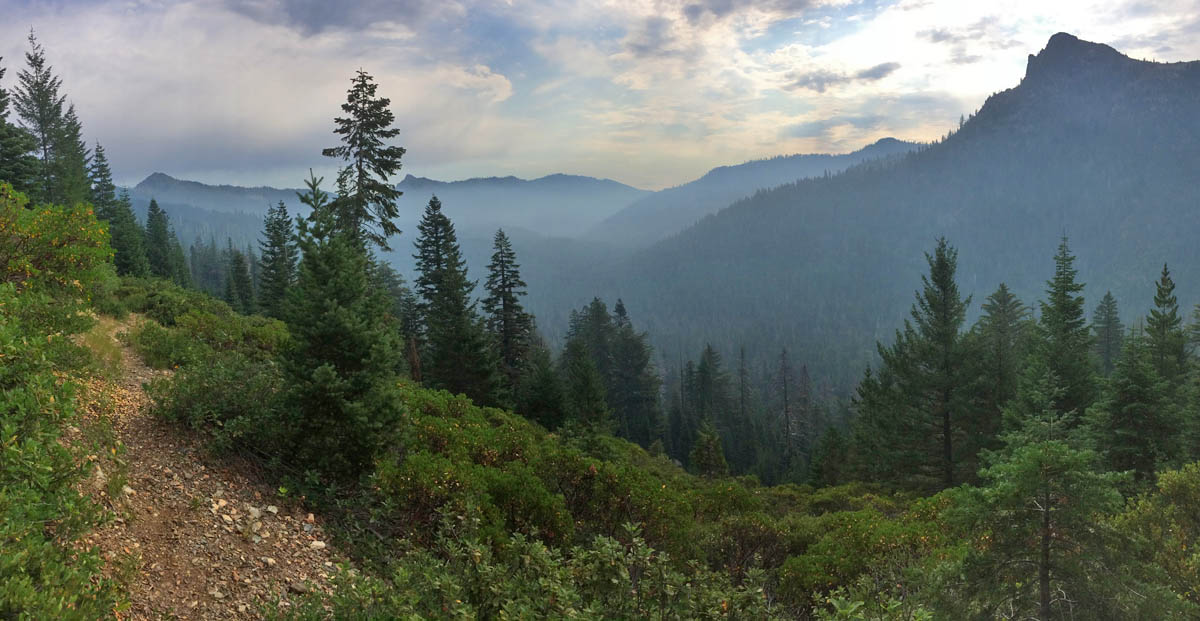
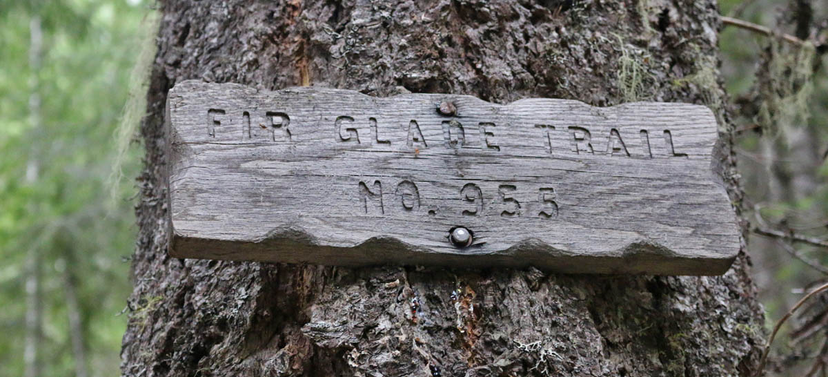
The Fir Glade Trail is about an hour drive south of Applegate, Oregon. The roads to Low Gap are fine for 2WD vehicles. The final half mile to Fir Glade will require a high clearance vehicle. The hike itself is moderate, with an elevation gain of around 1,000′ over the four-mile one-way hike to the high point. Travel another mile past the Figurehead Mountain pass to Azalea Lake.

Day-hiking route to the Red Buttes highpoint.
Intersection with the Bigfoot Trail.

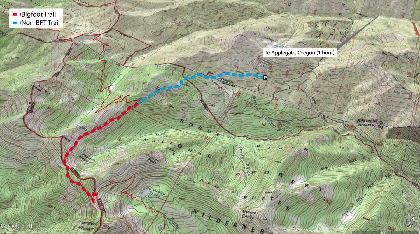
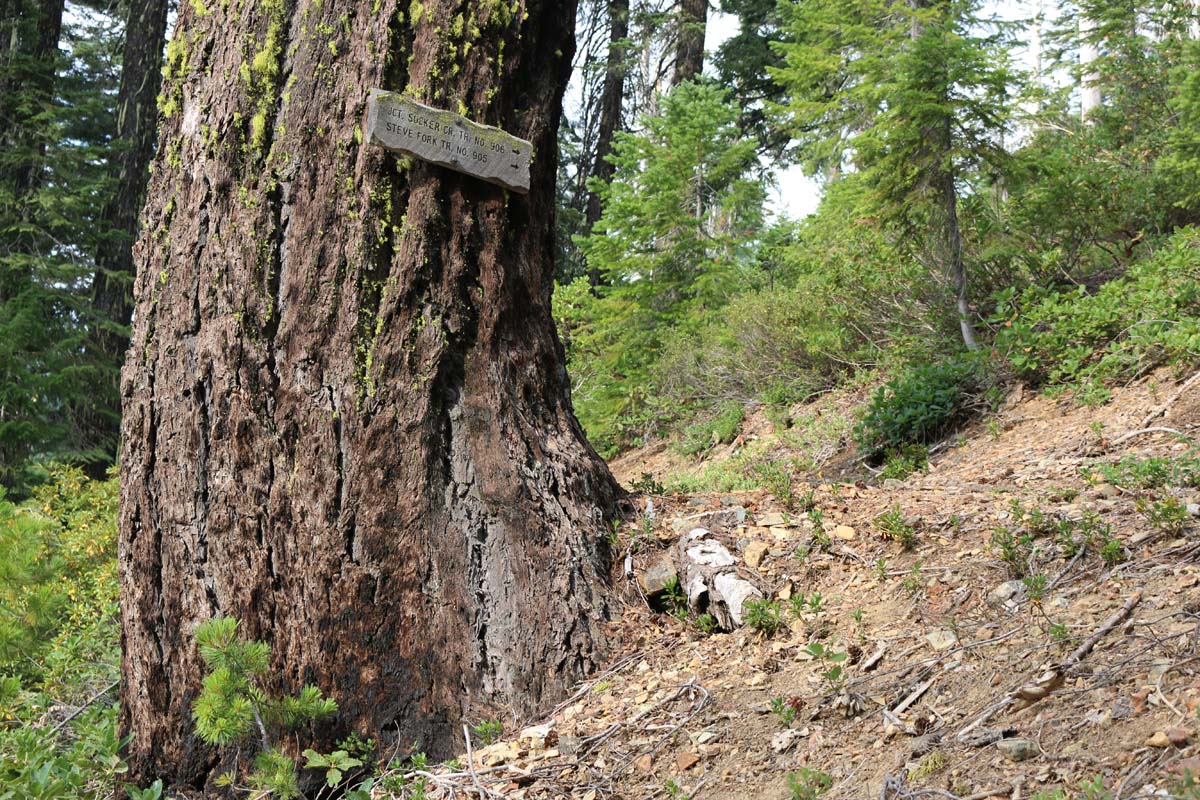
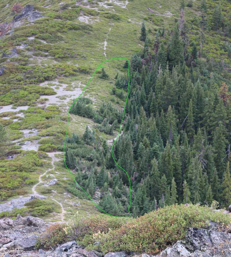
The first two miles from Fir Glade to the intersection with the Steve’s Fork trail wanders through, not surprisingly, fir forests with Douglas and white firs. The route also passes numerous springs and meadows before entering a drier pine forest near the intersection. Once on the Bigfoot Trail, the springs and meadows disappear and montane chaparral becomes more common on the final 2 miles to Figurehead Pass.

Fir Glade Trail.
Views open up to the Klamath River valley. Smoke is from the numerous fires burning in August 2017.
  • Visit our Citizen Science and Climate Change data page for the high point.
  • iNaturalist observations

Other highlights:

Douglas squirrel (Tamiasciurus douglasii)
western cone-flower (Rudbeckia occidentalis)
Monkshood (Aconitum columbianum)
Leafy Lousewort (Pedicularis racemosa)
Hemlock encroachment at the pass (circled in green)
Views along the Fir Glade Trail.

Share this:

  • Tweet
  • Email

Filed Under: Citizen Science, Day Hike, Red Buttes Section

Leave your thoughts... Cancel reply

Recent Posts

  • BFTA Welcomes 4 New Board Members
  • Looking Back and Looking Forward
  • 2022 Bigfoot Trail Siskiyou Wilderness Collaborative
  • Long Gulch Lake
  • Upper Wooley Creek

Socialize

  • Instagram
  • Facebook
  • Twitter

Get Email Updates

* indicates required
 

Subscribe to the BFTA Blog

Enter your email address to subscribe to this blog and stay up to date on the Bigfoot Trail.

Join 95 other subscribers

BFTA is a 501 c3

Tax ID #47-4468143


Contact

email: bfta [at] bigfoottrail.org

PO Box 777, Bayside, CA  95524