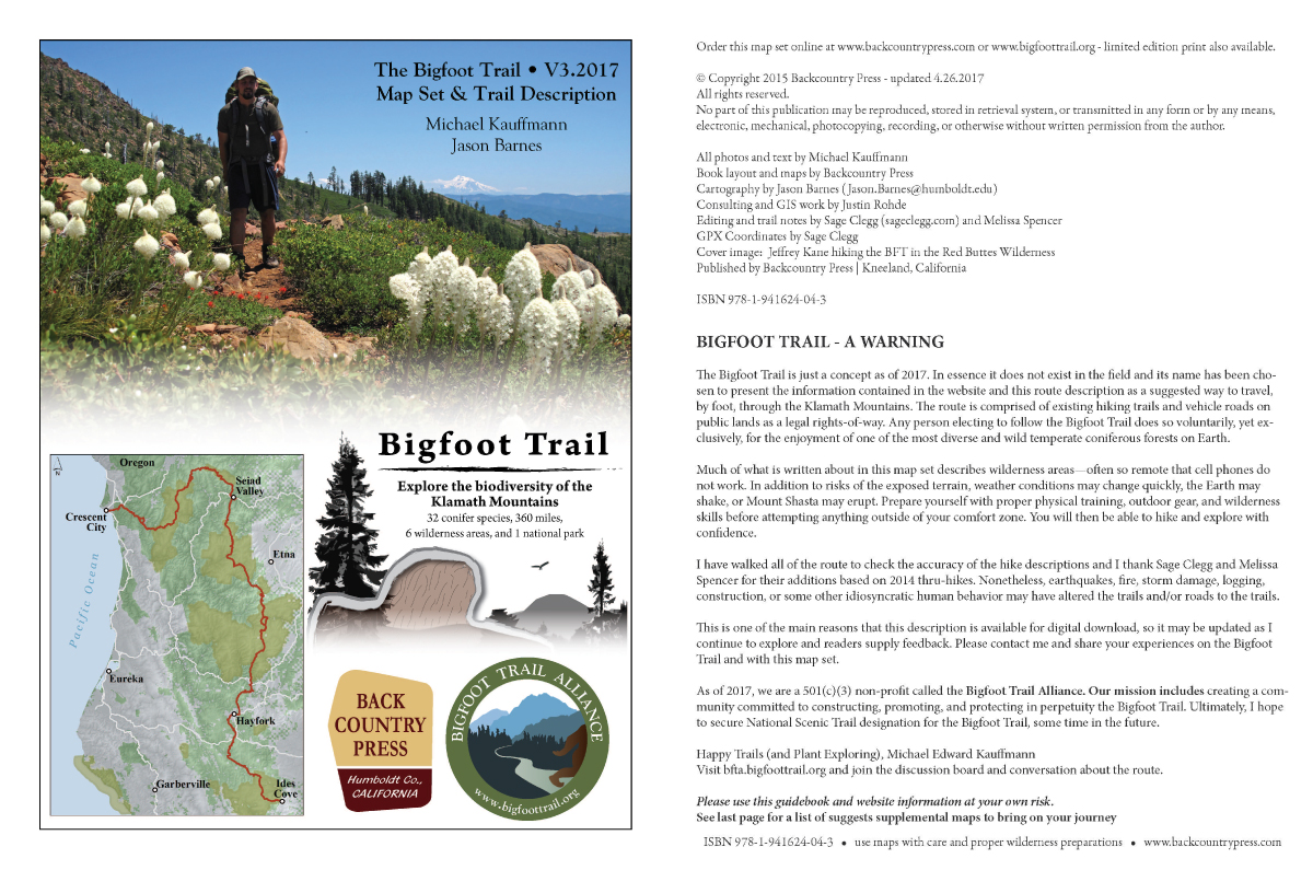
We have updated our map set for the first time since 2015. The updates include clearer maps, updated routes around Hayfork and Crescent City, and mileage marks that have been adjusted based on the new trails that are now hike-able.
Remember, as a Bigfoot Trail Alliance MEMBER you have unlimited access to download GPX tracks and digital map set whenever you need it! Thanks for supporting the work we do.
Please use this guidebook and website information at your own risk.
2017 Bigfoot Trail Map and Guidebook
Digital Download or Printed Maps

V.3 2017 – $20.00 – Digital File

V.3 2017 – Printed set available for $45.00
25 pages, 8.5” x 11” – will ship in late May 2017
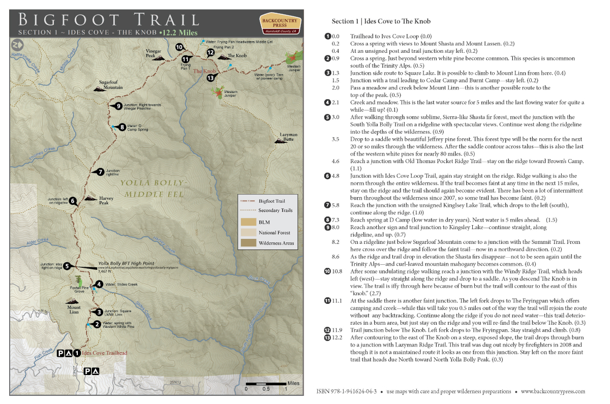
Maps and guidebook provide mile by mile descriptions of the trail including water sources, trail and road junctions, conifer species, resupply points, and more. Sales will fund the establishment of the Bigfoot Trail Alliance and future trail work. Scroll down for sample pages. Printed map set and poster by Bug Press, Arcata, California
Read more about the maps creation
Sample Pages:


Leave your thoughts...