Explore the Biodiversity of the Klamath Mountains

Bigfoot Trail

Cart

  • Route
    • Maps and Guidebook
    • Trail Regions
      • 1 – Yolla Bolly
      • 2 – Trinity River Country
      • 3 – Trinity Alps
      • 4 – Russian Wilderness
      • 5 -Marble Mountain Wilderness
      • 6 – Red Buttes
      • 7 – Siskiyous
      • 8 – Redwood Country
    • Trailblazers
    • Interactive Map
    • Media
    • Bigfoot Trail Trip Reports
  • News
    • Podcast
    • Newsletter
    • Event Calendar
  • Support
    • Personal Memberships
      • Day-Hiker Membership
      • Thru-Hiker Membership
      • Flip-Flop Membership
    • Business Partner
    • Volunteer
      • Volunteer Learning Center
    • Donate
    • Leave No Trace
  • Biota
    • Conifer List
    • Plants
    • Birds
  • Our Work
    • Board of Directors
      • Contact the BFTA
    • Trailwork
    • Community Science
    • Youth Stewardship Project
    • Trails Summit
    • Crew Leader Resources
      • Apply to become a Trail Crew Leader
    • Media
  • Merch
    • Hats
    • Shirts and Hoodies
    • Bigfoot Trail Poster
    • Bigfoot Trail Mapset: Printed
    • Bigfoot Trail Mapset: Digital
    • Conifer Country
  • Contact
  • My Account
    • Account details
    • Lost password

Bigfoot Trail Begins

July 20, 2016 by Michael Kauffmann 2 Comments

Northern California’s Coast Range

IMG_3791
Where the Bigfoot Trail begins — the “gateway”

Mount Linn–also called South Yolla Bolly Mountain–is the highest point in the Coast Range of northern California and where the Bigfoot Trail begins. It is located to the west of Corning but the area might as well be a world away from the population centers of the state; it is rarely noticed by travelers as they drive Interstate 5. Once off the interstate, scenic forest service roads still take nearly 2 hours to wind to the trailhead. I revisited this fine mountain in July of 2016 to set up a photo-monitoring plot along the Bigfoot Trail and took the time to also map the vegetation on the mountain–particularly the grove of foxtail pines near the summit. This is one of the smallest (12 acres) and most isolated groves for the entire species and one that I am very much concerned about due to climate change. Shasta firs are encroaching upon the trees as snowpack declines and temperatures warm. I was happy to see the trees doing well and many young foxtails sprouting up–just not as many as there are young firs.

IMG_2641
A view from Mount Linn toward the Pacific Ocean and the distant King Range.

Forest Vegetation of Mount Linn — where the Bigfoot Trail Begins

Below is a map showing the forest alliances in the upper elevations of the mountain, generally above 7,000′. The darkest green on the eastern part of the ridge is the 12 acre foxtail pine grove, that will be discussed in more detail later in the blog.

Forested Vegetation of Mount Linn
Shasta Fir Alliance
Pure forests of Shasta Fir (Abies magnifica ssp. shastensis) are common on flatter benches.
Pure forests of Shasta fir (Abies magnifica ssp. shastensis) are common on flatter benches.

IMG_3793

Western White Pine – Shasta Fir Alliance
Western white pine (pinus monticola) and Shasta fir mixed forest is common on the steeper north-facing slopes.
Western white pine (Pinus monticola) and Shasta fir mixed forest is common on the steeper north-facing slopes.
A high intesity burn from 2008 has opened up small pockets in the Shasta fir - western white pine forests.
A high intensity burn from 2008 has opened up small pockets in the Shasta fir – western white pine forests.
Jeffrey Pine Alliance
Jeffrey pine (Pinus jeffreyii) are common on the upper south-facing slopes.
Jeffrey pine (Pinus jeffreyii) are common on the upper south-facing slopes (photo from 2009).

Status of the 12 acre Foxtail Pine grove – Foxtail Pine Alliance

IMG_2693
This is the foxtail pine grove, all 12 glorious acres of it, with scattered western white pine and Shasta fir, which are becoming more common.
IMG_3901
The heart of the grove.
Quintessential foxtail pine grove -- with well spaced trees and sparse understory.
Quintessential foxtail pine grove — with well spaced trees and sparse understory.
IMG_3836
This rocky, north-facing bench is full of new seedlings which now have a longer growing season due to lack of summer snowpack.
IMG_3906
Another view from the other side of the basin–look at all those young firs!
IMG_2634
Young Shasta fir recruitment under an old foxtail pine.

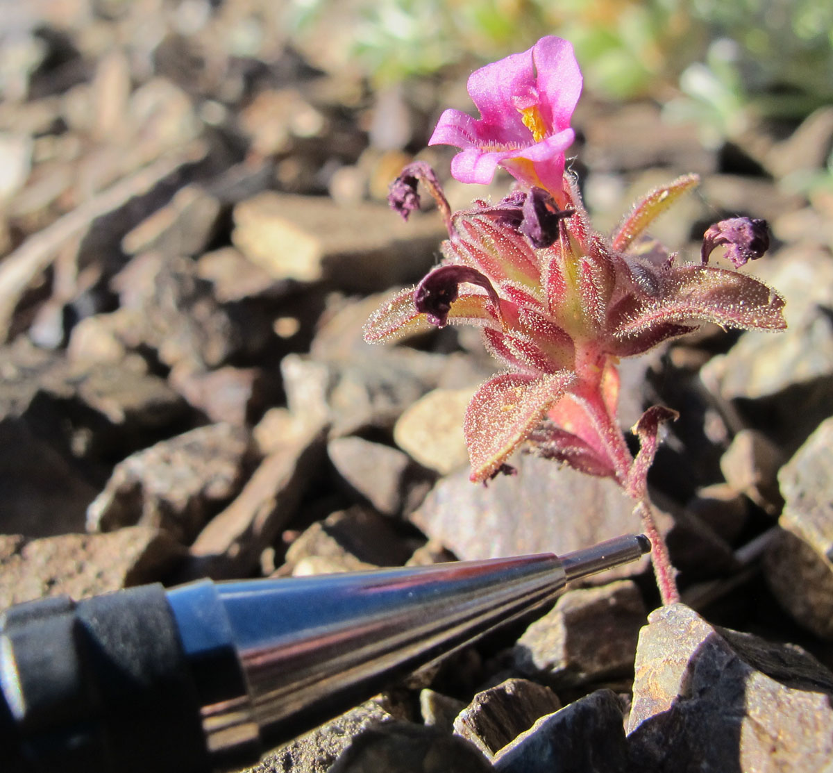
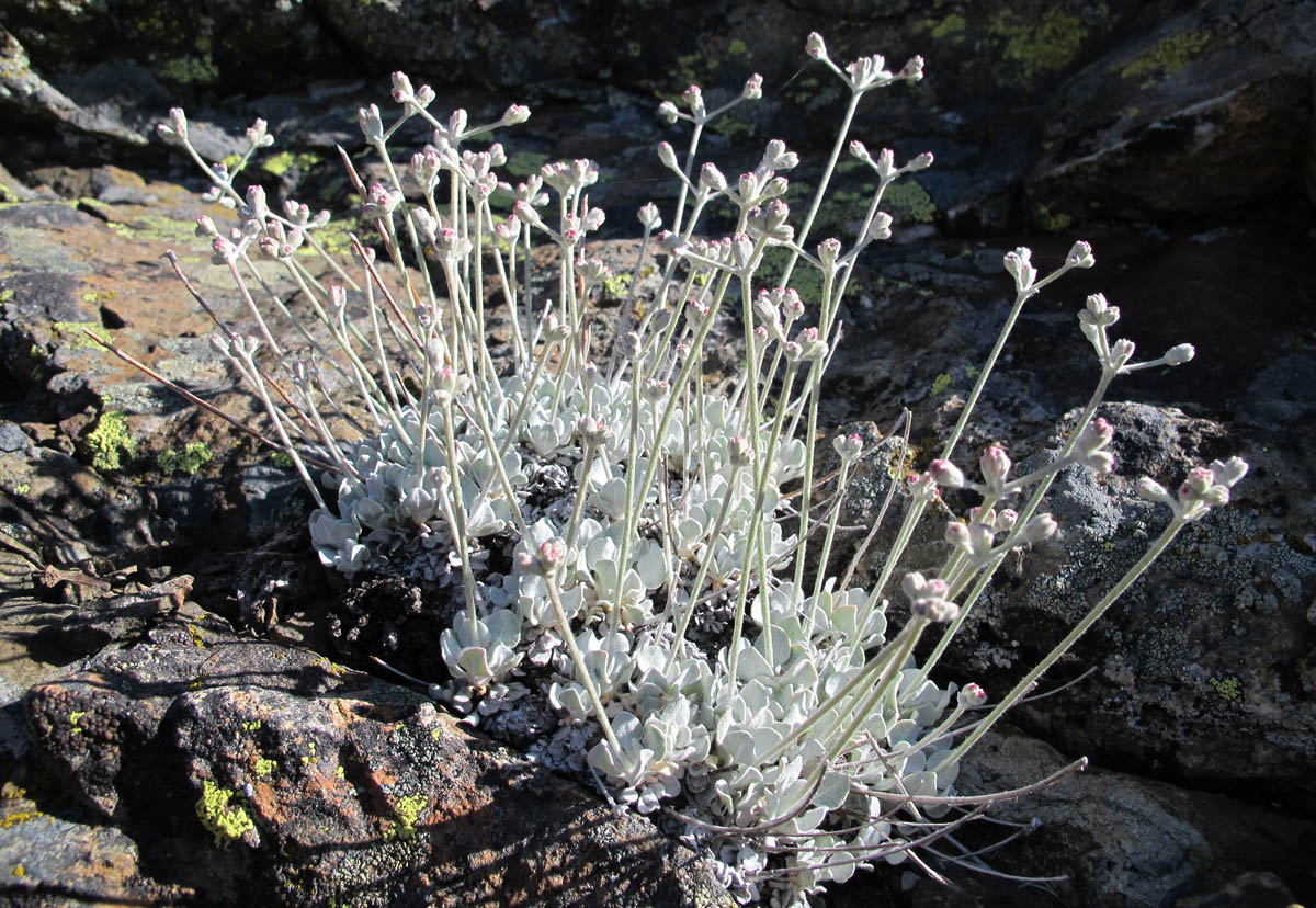
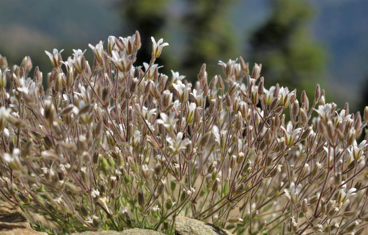
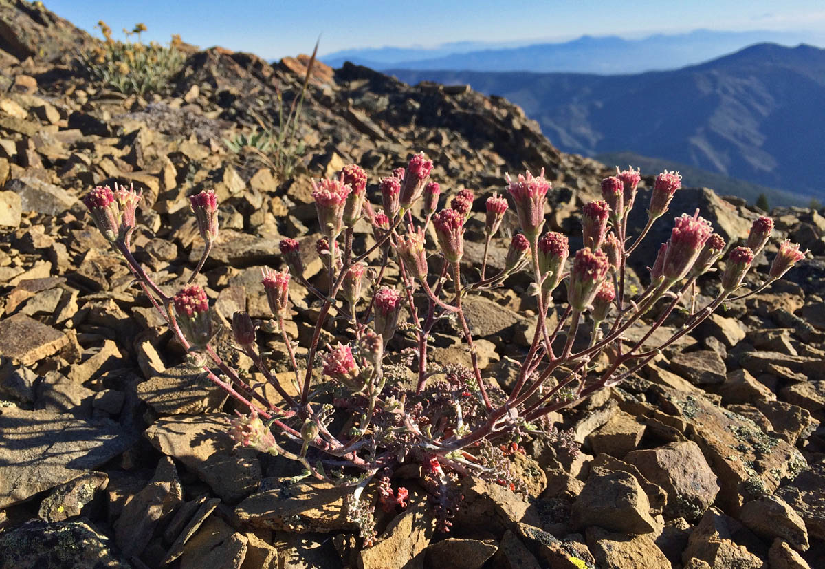
Selected herbaceous plants

Dwarf Monkey Flower (Mimulus nanus)
Blue Mountain buckwheat (Eriogonum strictum)
Nuttall Sandwort (Minuartia nuttallii)
Dusty maidens (Chaenactis douglasii )
Other Resources
  • eBird Checklist
  • August 2009 visit
  • Bigfoot Trail photo-monitoring project in the Yolla Bolly-Middle Eel Wilderness

Share this:

  • Click to email a link to a friend (Opens in new window) Email

Filed Under: Yolla Bolly

Comments

  1. Dustin Boone says

    July 20, 2016 at 4:54 pm

    Nice article. Very informative, especially the map. Good to know that the Foxtails are doing well, but definitely worrisome on how climate change could be harmful to them. I’m bummed I didn’t make it up there this spring, since it was a better snowpack than the previous couple winters provided.

    Reply
    • Michael Kauffmann says

      July 21, 2016 at 7:00 am

      Hey Dustin- Snow was still lingering up there, enough for a 75 foot sleigh ride! Love that mountain as much as you…

      Reply

Leave your thoughts...Cancel reply

Upcoming Events

  • 6:30 pm – 8:00 pm, April 29, 2025 – Exploring the Bigfoot Trail with Mary Kwart

Recent Posts

  • Brushing Trails and Building Bonds
  • Clearing the Way: Trail Restoration in the Marble Mountains on the Let’er Buck Trail
  • Crossing Into the Klamaths: West Low Gap
  • Reviving the Bluff Creek Trail: A Legacy of Connection and Care
  • Celebrating a Decade on the Trail

Bigfoot Trail Tales Podcast

  • 2024 Volunteers of the Year
  • Hiking and Volunteering with Eva Piontkowski
  • Hiking the Bigfoot Trail with Mary Kwart
  • Bigfoot Trail on Film!

Socialize

  • Instagram
  • Facebook
  • X

Get Email Updates

* indicates required
 

Donate

Help our organization by donating today! All donations go directly to making a difference for our cause.

Categories

  • Bureau of Land Management (1)
  • Forest Service (34)
    • Klamath National Forest (12)
    • Mendocino National Forest (3)
    • Shasta Trinity National Forest (15)
    • Six Rivers National Forest (12)
  • Hit the Trail (64)
    • Day Hike (8)
    • Fire Updates (3)
    • Hiking the Trail (18)
    • Mountain Biking (1)
    • Thru-hike (5)
    • Trail Accounts (12)
  • Podcast (2)
  • Sections (46)
    • Marble Mountains (11)
    • Red Buttes (2)
    • Redwood Country (3)
    • Russian Wilderness (2)
    • Siskiyou Wilderness (9)
    • Trinity Alps (15)
    • Trinity River Country (7)
    • Yolla Bolly (11)
  • Support the Trail (38)
    • Board of Directors (10)
    • Business Partners (4)
    • Community Science (5)
    • Membership (1)
    • Volunteer (13)
    • Volunteer of the Year (2)
    • Youth Education (8)
  • Trailwork (39)
    • CCC Collaborative (6)
  • Year in Review (5)

Subscribe to the BFTA Blog

Enter your email address to subscribe to this blog and stay up to date on the Bigfoot Trail.

Join 157 other subscribers

BFTA is a 501 c3

Tax ID #47-4468143

Contact

email: bfta [at] bigfoottrail.org

PO Box 777, Bayside, CA  95524